GIS24.net
Geographic Information System
POI database from MEINWOMOmaps


Geographic Information System
POI database from MEINWOMOmaps
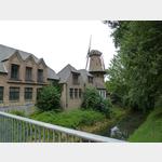
Hanselaer
/
ADDRESS
47546 KalkarSpickstraße
WeiterUrl : https:/ / de.wikipedia.org/ wiki/ Hanselaer
UrlLoad : https:/ / yes
WikiText : Hanselaer ist ein Ortsteil der Stadt Kalkar am linken unteren Niederrhein. Mitte 2005 hatte er 125 Einwohner. Der Ortskern von Hanselaer liegt knapp 2 km östlich des mittelalterlich geprägten Stadtkerns von Kalkar. Das Gebiet zwischen Kalkar und Hanselaer wird weitgehend als Weideland genutzt. Es wurde noch bis 1965, als ein neues Deichsystem errichtet wurde, bei Hochwasser des Rheins häufig überschwemmt. Vermutlich hat sich hier noch zur Römerzeit ein Rheinarm erstreckt. Urkundlich erwähnt wurde Hanselaer bereits im 12. Jahrhundert. Das Kölner Damenstift Sankt Maria im Kapitol besaß hier einen Gutshof mit einer Kirche - schon bevor die Stadt Kalkar 1230 auf der westlich gelegenen ursprünglich vom Rhein umflossenen Sandbank Kalkarward gegründet wurde.
Click for interactive map
..
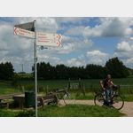
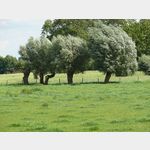
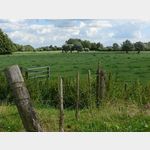
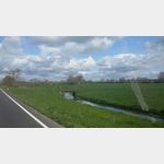
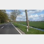
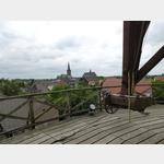
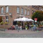
Pictures of the Poi and surroundings
Videos about the Poi and the surrounding area
.


.
Things to see in the area
Rewe
Supermarket REWE[ click for more information ]
P9
[ click for more information ]Wolters Nutzfahrzeuge GmbH IVECO Werkstatt Kastellstraße 40-42 47546 Kalkar Tel.
[ click for more information ]
[ click for more information ]
Aldi
Supermarket Aldi[ click for more information ]
Polizei
Police Headquarters Kalkar[ click for more information ]
TouristInfo
The TIK (Tourism Information Kalkar) is located in the Municipal Museum building.[ click for more information ]
sonstiges
Kalkar gas station[ click for more information ]
ParkenPkw
Wisseler See amusement park car park, 47546 Kalkar, Germany[ click for more information ]
Parkplatz Griether Straße
Simple parking lot for 3-5 mobile homes, which is also suitable for overnight stays.[ click for more information ]
Romanische Kirche
Romanesque Church[ click for more information ]