GIS24.net
Geographic Information System
POI database from MEINWOMOmaps


Geographic Information System
POI database from MEINWOMOmaps
Tautenhain
/
ADDRESS
07639 TautenhainDorfstraße
WeiterUrl : https:/ / de.wikipedia.org/ wiki/ Tautenhain
UrlLoad : https:/ / yes
WikiText : 1.154 (31. ,Dez. ,2008)[1] Tautenhain ist eine Gemeinde im Osten des Saale-Holzland-Kreises und Teil der erfüllenden Gemeinde Bad Klosterlausnitz. Sie zählt zu den Holzlandgemeinden, welche dem Kreis einen Teil seines Namen gaben.
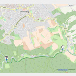
Click for interactive map
..
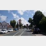
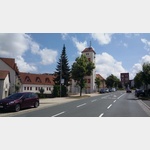
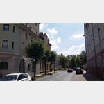
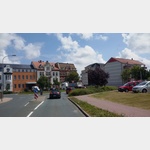
Pictures of the Poi and surroundings
.
Things to see in the area
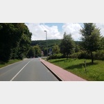
Parkplatz Mühltalsweg
kleiner Parkplatz, wo 2-3 Wohnmobile stehen können[ click for more information ]
Planetenweg Mühltal
 He on a scale of 1:695.
 [ click for more information ]
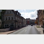
Kirche
Castle Church Eisenberg[ click for more information ]
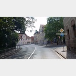
Kirche
Eisenberg Town Church[ click for more information ]
Kristall-Bad
Opening hours on Monday 10:00 a.m.[ click for more information ]
Tonteich
Tonteich Eisenberg[ click for more information ]
Friedrich-Schiller-Gymnasium
Friedrich-Schiller-Gymnasium Eisenberg[ click for more information ]
Klinik
2204342_Beschreibung[ click for more information ]
Eisenberger Hallenbad
Eisenberg indoor pool in Eisenberg[ click for more information ]
Edeka
Edeka market in Eisenberg[ click for more information ]
Freiwillige Feuerwehr
Eisenberg Volunteer Fire Department[ click for more information ]
Schloss Friedrichstanneck
Friedrichstanneck Eisenberg Castle[ click for more information ]
Netto
Net market Eisenberg[ click for more information ]
Prinzenteich
Prinzenteich Eisenberg[ click for more information ]
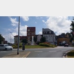
Parkplatz Verkehrsgarten Lessingstraße
Parkplatz, den Wohnmobile als Ausweich nutzen dürfen, wenn der offizielle Stellplatz an der Geraer Straße belegt ist[ click for more information ]
Aral
Aral petrol station in Eisenberg[ click for more information ]