
Europe´s most comprehensive mobile home portal
Over 15 years of experience and quality
by camper drivers for camper drivers


Over 15 years of experience and quality
by camper drivers for camper drivers
SalzAlpenSteig 12, Golling - Scheffau
Tour / hiking / bike / ski / Hiking
SalzAlpenSteig
The hiking trail leads over 233 km from Lake Chiemsee to the Dachstein.
Walking past the old salt deposits, hikers learn a lot about salt mining and processing. The unique landscape is good for the soul. There are also numerous other sights along the way.
Between the lowest point at 457m and the highest at 1662m, there is a total of over 10,000m of ascent.
In many places, side paths offer the opportunity to plan your own stages.
One suggestion are these 18 stages.
Prien am Chiemsee Grassau, 19.8 km
Grassau Brachtalm, 18.3 km
Brachtalm Bergen, 9. 8 km
Bergen Ruhpolding, 15.9 km
Ruhpolding Inzell, 14.9 km
Inzell - Bad Reichenhall, 22, 2 km
Bad Reichenhall Bischofswiesen, 16, 3 km
Bischofswiesen Ramsau, 18, 4 km
Ramsau Königssee, 18,
Description of the tour
Number of tour points = 606
Total length of the tour = 13.01 km
Height difference = 271.49 m
Minimum height = 465.7 m
Maximum height = 737.19 m
contour line:

ADDRESS
 5440 Golling an der Salzach
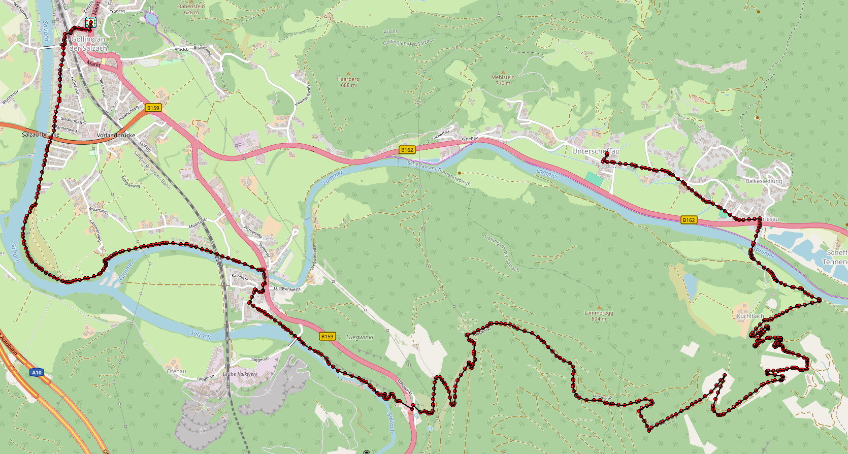
Click for interactive map
..
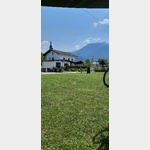
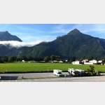
Images from Poi and starting point surroundings
.
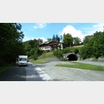
Things worth seeing around the starting point
Burg Golling
[ click for more information ]Bäckerei Holztrattner
[ click for more information ]Camping Martina
 The site is located directly on the Salzach
usable 1 May - 1 October
[ click for more information ]
Spar
[ click for more information ]MPREIS
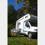
[ click for more information ]Wohnmobilstellplatz Aqua Salza
 The RV parking space at Aqua Salza is open all year round (365 days)
is usable January - December
[ click for more information ]
Parkplatz Blumtaustrasse
 Parking lot at the beginning of the beautiful Bluntau valley, (must go for a walk or hike) in the summer is charged, otherwise free, is good for resting on the A 10, AB in the front area can be heard at night Arrival: from the A 10 to Golling then over the bridge to Beginning of the Bluntau Valley
[ click for more information ]
Torrenerhof
 A connected to a hotel and country inn camping
is usable January - December
[ click for more information ]
Salzachklamm
from here you can comfortably walk into the Salzach Gorge, which is well worth seeing[ click for more information ]
See
Bürgerausee Kuchl[ click for more information ]
Kuchl - Nesslangeralm - Kuchl
A circular hiking trail on the Salzalpensteig.[ click for more information ]
SalzAlpenSteig 13, Scheffau - Abtenau
SalzAlpenSteig The hiking trail leads over 233 km from Lake Chiemsee to the Dachstein.[ click for more information ]
SalzAlpenTour - Jochalm - Golling
SalzAlpenTour - Jochalm - Golling length: 11.31 km highest point: 1170 m lowest point: 505 m[ click for more information ]
Copyright © 2023 - meinwomobuch.com
listed in the mobile home parking space database of meinwomo
listed in the mobile home parking space database of meinwomo